Pix4D vs Agisoft Metashape || Which is the Best Photogrammetry?
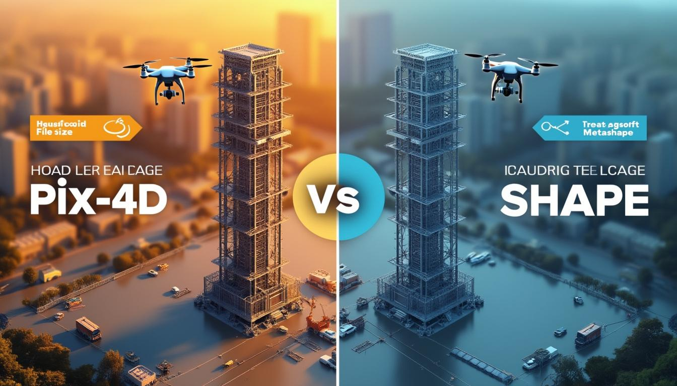
Drone mapping is becoming an essential tool for businesses and professionals across various industries. Whether it’s for site surveying, construction, or even agriculture, drone-generated 3D models are quick, reliable, and highly detailed. At GM6, our focus is to help you master the art and science of drone mapping, and we offer courses that get you … Read more